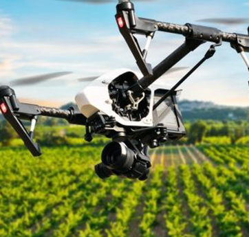
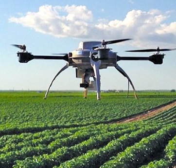
In a fraction of the time it would take to scout on foot, IG Drones deliver an instant shot of the field. Hundreds of hectares can be covered in a single flight, allowing for the detection and identification of different types of crop stress.
Farmers may use IG Drones to determine exact field sizes, classify crop varieties, and plan harvesting. Over 35 drone start-ups in India are aiming to improve the technology standards and lower the costs of farm drones.
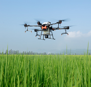
Growers, service providers, and agricultural researchers can use IG Drones to survey their crops, diagnose stress, develop treatment plans, track plant growth, and more. Crop health concerns can be detected and quantified early on using high-resolution RGB cameras. These helpful information can help you save money on your inputs and increase your yield. Use IG Drones data to create prescription maps and plans, which can help you target treatments more effectively and save money. Gain information that can be used in conjunction with other agronomic tools.
Instead of randomised sampling, drone data might direct you to the optimal spots to collect soil or leaves, saving time and money. From emergence until harvest, keep track of how your crops are doing. Monitor fields accurately for phenotyping and other research purposes. Periodic calibration of data from professional multispectral sensors provides insights into crop health independent of lighting variations, providing you with the data you need to develop quantitative patterns.