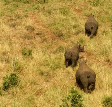
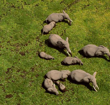
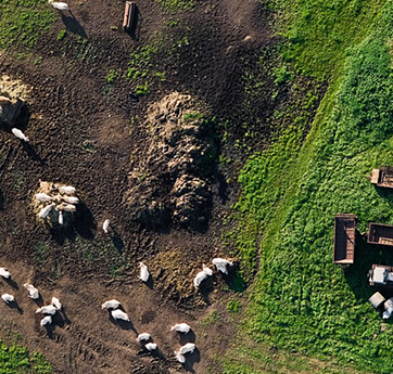
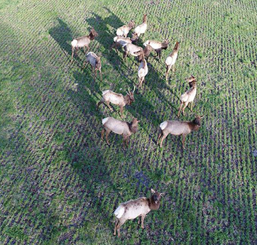
IG Drones have the potential to change forest and wildlife conservation studies. Drones provide a bird's-eye view of forests and wildlife, as well as information, imagery, and data that would otherwise be difficult or prohibitively expensive to gather.
Drones are not only a safer, more cost-effective, and more precise way for conversationalists to observe and study subjects, but they are also often less expensive, more efficient, and more precise than traditional methods.
IG Drones can help track unlawful operations, monitor animals, calculate their population, plan reforestation, Wildlife Habitat Mapping, Real-Time Monitoring of Active Fires, and poaching activities, among other things. Monitoring, appraisal of growing stock, biomass, and increase in forest cover on a regular basis. By analysing forest health, encroachments, tree-felling, forest fires, poaching, the status of water bodies, biodiversity protection, and mangrove conservation, drones for forest and wildlife help us build a better tomorrow. Drone technology is increasingly being used in the forest for the production of working plans, surveys, demarcation, and forest resource assessments. Drones equipped with high-resolution cameras are capable of operating and capturing accurate imagery as well as geospatial metadata.