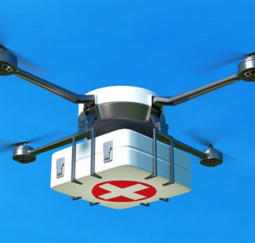
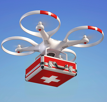
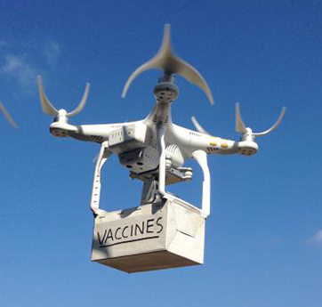
When compared to traditional approaches, using IG Drones to map disaster zones offers more cost savings and faster response times. IG Drones have been adopted by numerous assistance organisations during natural disasters because they can be deployed fast, provide high-resolution and 3D mapping, identify hotspot locations that have experienced the most damage, and upload the data in real time to coordinate relief activities.
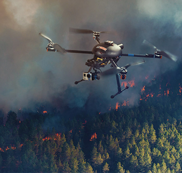
Drones were utilised for the first time in India by the National Disaster Management Authority, a coordinating agency for disaster management, during the Uttarakhand floods in 2013. During disasters, responders use drones to: provide immediate situational awareness with mapping technology and imagery, assist firefighters in identifying hot spots and assessing property damage, and provide rapid situational awareness with mapping technology and imaging. Imagery should be captured for communications and news coverage. Look for survivors, assess utility and infrastructural damage, and plan for the future. Make a before-and-after map of the affected area. Despite the fact that drones are now mostly employed in disaster response, a new paper underlines the advantages of employing drones in catastrophes at all four stages of the disaster life cycle: prevention, preparation, response, and recovery.