Road Construction and Monitoring Using Drones
Road construction, in its most basic meaning, relates to the science and engineering of laying the materials that provide us with safe and stable roads, bridges, and highways. Road construction, on the other hand, is not a one-time event, but rather a continuous series of road repair and maintenance operative actions. Civil engineers contribute to the revitalization and improvement of roads by taking certain actions and approaches that result in higher production and maintenance costs, road development times that are longer than expected, unwelcome delays in work resources and labour, and much more.
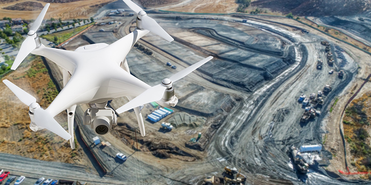
Unmanned Aerial Vehicles (UAVs) provide a viable alternative to the desperate process of road building and maintenance (UAVs). Drones or unmanned aerial vehicles (UAVs) are a viable and resourceful alternative to traditional processes because of their smooth manoeuvrability, quick and time-critical results, precise measurements, and full and detailed surveying. The emergence of technology as a whole has ushered in a plethora of possibilities and innovation that were before restricted to the confines of human imagination. Drone technology, with its unique features, has aided in the recovery of the construction industry.
HOW IS DRONE DATA USED IN THE CONSTRUCTION INDUSTRY?
Because technology is at the forefront of innovation and advancement, the necessity for the application of drones to reduce the intricacies involved with each business has arisen. Drone technology, which is also driving the construction business, employs innovative methods to propel this industry to new heights. Drone use has resulted in significant development in the road building sector, with a 239 percent growth rate. This demonstrates how useful drones may be in this industry while also assisting the growth of applicable industries.
With multiple advantages in this sector, drones provide a quick road survey, precise mapping, time-sensitive land surveys, and many more road management activities. These and relevant operations see the light of day under the excellent quality and accuracy of drone data. The visual data, content, and measurements collected from aerial surveying, mapping, and data processing are fuelled under the influence of LiDAR (Light Detection and Ranging) sensors and Artificial Intelligence automation and technology. Aerial mapping and surveying aids in recording this data that UAVs would process in a later stage to yield precisely correct measurements and information. The most significant merit of drone data collection and processing is its speed of aerial survey and mapping that ultimately accounts for bridge inspection and road construction. The nature of drone survey and imagery is fundamentally to produce time-critical yet accurate measurements that save time and entails efficiency and thus advancements of the construction industry.
Leave a Reply